ANA ›
United States ›
Kentucky ›
Carroll County
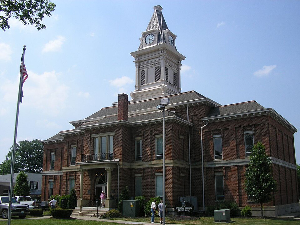
Carroll County, Kentucky
At a Glance
Population 10,810 County Seat William L Wheeler Hall of Justice State FIPS 21 County FIPS 041 Num Towns 5 Census-Designated Places 0 Total Town Population 4,802 Census Source Census ACS 5-Year 2022
People & Demographics
Population (official) 10,842 Median Age 38.5 Veterans 615 Housing Units 4,675 Uninsured 211 Net Migration (recent) -79 Growing No
Economy & Employment
Total Establishments 233 Total Employees 6,301 Avg Annual Pay $73,076 Median Household Income $50,625 Poverty Rate 20.3% Unemployment Rate 6.7% Avg AGI per Return (IRS) $59,206 Federal Spending FY2024 $63,679,598 Federal Spending Per Capita $5,891
Housing & Cost of Living
Median Home Value $128,100 Median Rent $806 FMR Studio $653 FMR 1BR $761 FMR 2BR $908 FMR 3BR $1,139 FMR 4BR $1,273
Health & Safety
Hospitals 5 EMS Stations 15 Fire Stations 15 Police Stations 15 Adult Smoking 25.7% Adult Obesity 41.5% Overdose Deaths Rate/100k 63.8 Air Quality Good Days N/A
Infrastructure
Electricity Price (¢/kWh) 12.79 Electric Customers 2077215 Towns with Broadband Data 5 Towns with 90%+ Coverage 5
Community
Churches 6 Libraries 5 Historic Places (NRHP) 11 Homeless Population N/A Schools 40 SNAP Stores 18 Bank Branches 6
Agriculture
Total Farms 185 Land in Farms (acres) 5,268 Avg Farm Size (acres) 28.5 Year 2,022
Recent Federal Disaster Declarations (15)
Type Title Date EM SEVERE WINTER STORM 2026-01-24 DR SEVERE STORMS, STRAIGHT-LINE WINDS, TORNADOES, FLOODING, LANDSLIDES, AND MUDSLIDES 2025-04-24 EM SEVERE STORMS, STRAIGHT-LINE WINDS, TORNADOES, AND FLOODING 2025-04-03 EM SEVERE STORMS, STRAIGHT-LINE WINDS, FLOODING, AND LANDSLIDES 2025-02-16 DR COVID-19 PANDEMIC 2020-03-28 EM COVID-19 2020-03-13 DR SEVERE STORMS, STRAIGHT-LINE WINDS, FLOODING, LANDSLIDES, AND MUDSLIDES 2019-04-17 DR SEVERE STORMS, TORNADOES, FLOODING, LANDSLIDES, AND MUDSLIDES 2018-04-26 DR SEVERE STORMS, TORNADOES, STRAIGHT-LINE WINDS, FLOODING, LANDSLIDES, AND MUDSLIDE 2015-08-12 DR SEVERE STORMS, TORNADOES, STRAIGHT-LINE WINDS AND FLOODING 2012-03-06
Detailed Topics
Communities in Carroll County
Data sources: Census ACS, BLS QCEW, IRS SOI, USAspending.gov, County Health Rankings, EPA AQI, HUD FMR, NCES, FEMA, National Register of Historic Places, CDC, EIA.